Public Domain Review: Highlights from the 20,000+ maps made freely available online by New York Public Library

"To His Excellency Sr. Henry Moore, Bart., captain general and governour in chief, in & over the Province of New York & the territories depending thereon in America, chancellor & vice admiral of the same, this plan of the city of New York, is most humbly inscribed" (1776)
From the introduction:
"The New York Public Library have made available online, free from all restrictions, high resolution copies of more than 20,000 historic maps. Containing maps from the 16th through to the early 20th century, the collection focuses mainly on the United States, particularly New York, but also features maps from other countries. The images of Manhattan and surrounding boroughs offer a fascinating snapshot of the development of one of the most densely populated areas in the world. The maps can be viewed through the New York Public Library’s Digital Collections page, and downloaded, through the Map Warper – a wonderful project which aims to make historic maps viewable as overlays on modern maps."
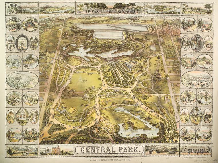
Central Park (1863)
 1
1